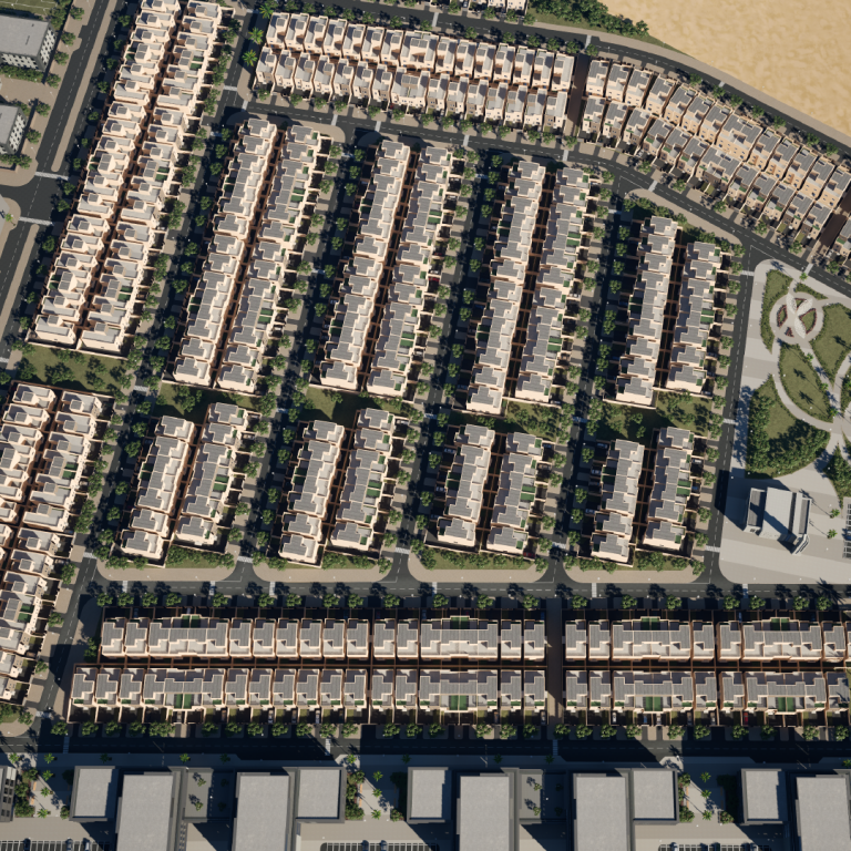
Integration of 3D model into aerial photo
We started working on this project with aerial photography, which was carried out on the client's side in accordance with our requirements and recommendations for it. Thanks to the seamless integration of the 3D model of townhouses into the aerial photo, it was possible to show the dimensions of the buildings, the location relative to each other and their surroundings. This helps potential buyers to assess the real size of houses and the surrounding infrastructure from a bird's eye view, and even estimate the view from the window, where the sunny side will be located.


